While learning about the geological history of this region students are also working in teams to reconstruct it on their own, using both classical and modern methodology.
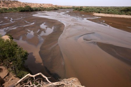
The geography of a landscape is key to understanding its geology and natural history. The Turkana Basin Institute, located along the Kenyan portion of the Rift Valley west of Lake Turkana, overlooks a complex terrain that includes not only the modern Turkwell river, but also bluffs, ravines and terraces that are thousands, and sometimes millions of years old.
While learning about the geological history of this region students are also working in teams to reconstruct it on their own, using both classical and modern methodology.
|
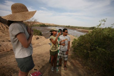
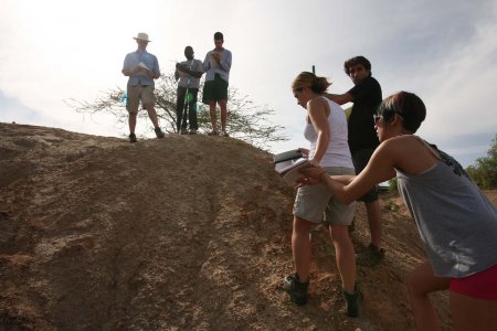
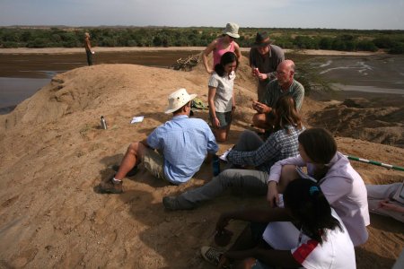
Field school students collaborate to measure and record the complex terrain outside the TBI basecamp, above the Turkwell River.
|
Before heading into the field, students worked with professor Craig Feibel to develop a systematic approach for mapping the Turkwell River ravines, situated between basecamp and the river.
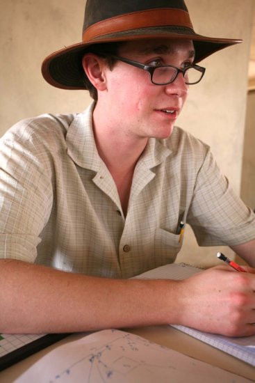
Ben reviews his notes before heading to the field.
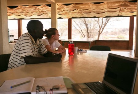
David and Debbie take a quick break in TBI’s mess hall overlooking the Turkwell River.
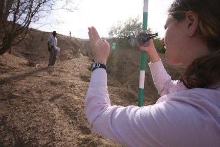
David shifts to his left as his team measures the elevation of the ravines below camp.
Chelsea, Kelly and Alec collaborate during their exercise.
Priscilla and Wyatt help Mandy climb the ravine as they measure changes in altitude for their mapping excercise.
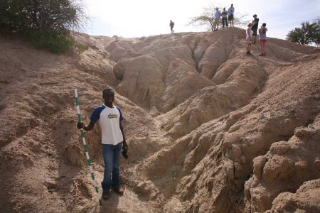
Anacoli poses with his jacobstaff before ascending the ravine.
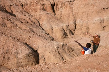
Anacoli and Quan both help direct their team members higher on the slope.
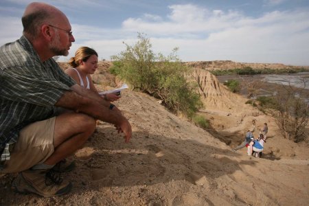
Professor Feibel and Mandy use data collected by the students to review the history of the Turkwell River below camp.
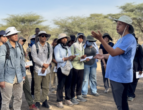
Many students have come to the TBI fieldschool with a background in geology. Here, Craig helps Peter, Sonia, Chelsea and others understand the characteristics of rocks found in this region.
A woman, carrying straw, crosses the Turkwell River in the late afternoon light.


