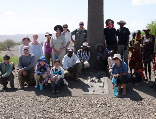
In our last episode of geologic endeavor, students learned about the two dominating sedimentary systems of the Turkana Basin: the river system and the lake system. They are the integral forces that laid down layers of rocks in the basin, together with important fossils of early mammals and hominins. To understand the differences between the river process and the lake process, Drs. Craig Feibel and Bob Raynolds led an excursion to Il Kimere, an ephemeral river that flows into Lake Turkana.
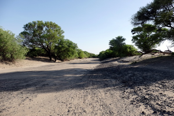
The dried river bed of Il Kimere
For most days of the year, the Il Kimere river is just a dried river bed with no sight of water in it at all. It only flows several days each year when heavy rains pour into its catchment areas. In some sections of the river, the rapid currents cut into the banks of the river, which results in erosion. In other sections, the water goes slowly and may even overflow into the floodplains along the river banks, which results in deposition. So a river system is essentially the dynamics between erosion and deposition.
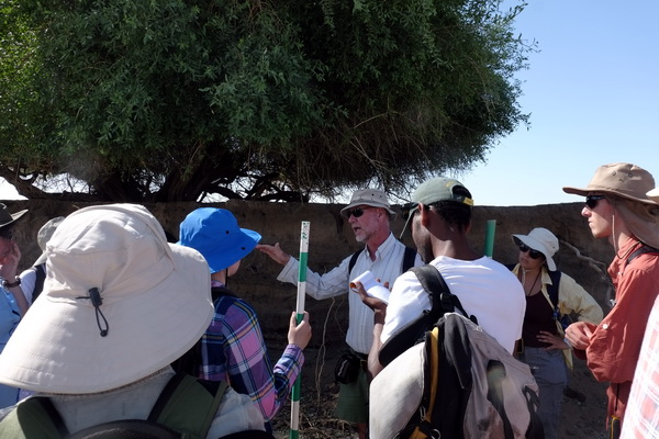
Students learned about the dynamics of the Il Kimere river
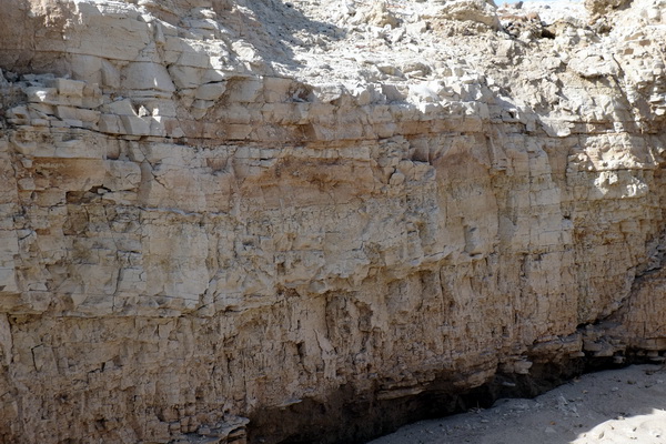
An outcrop created by erosion of the Il Kimere river
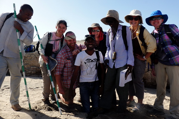
Students decided to “plant” Goitom in the dried river bed. Perhaps we will see a tree of Goitoms next year!
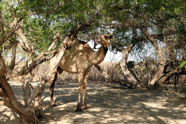
An unexpected visitor is peeking from the river bank!
In contrast, the lake system is all about deposition. A lake basin such as the Turkana Basin is a perfect sink that draws sediments from far and wide. As sediments build up over the years, the basin can also get a bit too full. If that happens, water will start to flow away from the basin and the lake system may disappear completely and be replaced by rivers instead. This is exactly what we see in the history of the Turkana Basin, triggered by other events such as tectonic activities and climatic oscillations. To understand the lake process, students took on a bit of muddy business and examined some sediment cores from the delta of the Il Kimere river.
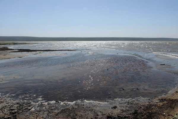
Lake Turkana from the Il Kimere delta
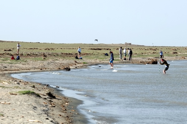
Students working at the lake shore
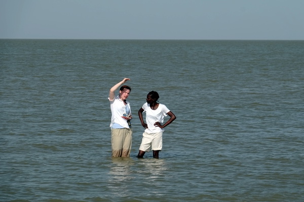
Shelby and Esther discussing the lake process
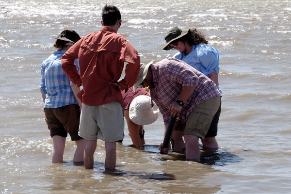
Students collecting lake sediment cores from the Il Kimere delta
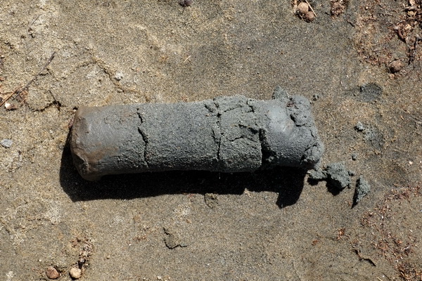
A section of the lake sediment core that the students collected
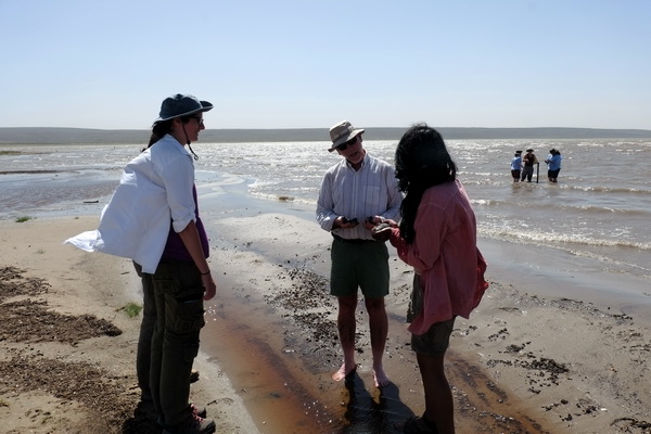
Izzy and Kim discuss their observations with Professor Feibel
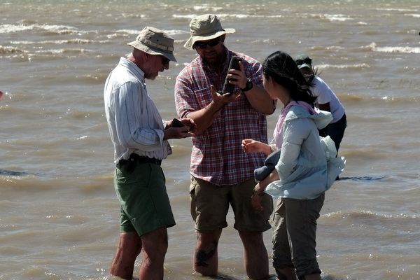
Tom and Yishan acquired some long cores
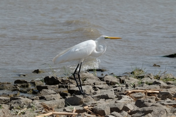
Great egret, a common resident of the lake shore
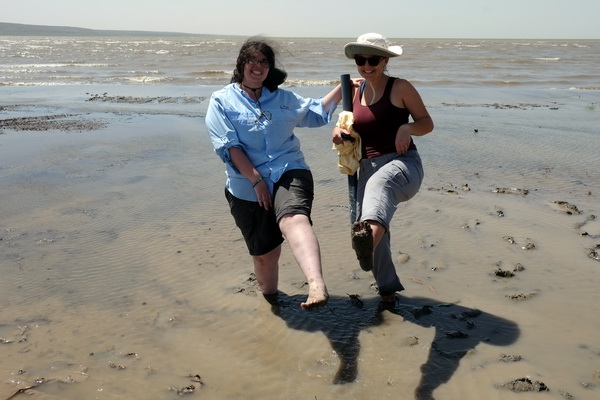
Jessica and Leah having fun in the mud deposits of Lake Turkana
In the classroom, students continued to learn about geologic principles and how they apply to the Turkana Basin. One of the most important principle is superposition, which dictates that layers of sediments are arranged in a time sequence, with the oldest on the bottom and the youngest on the top. Over millions of years, as sediments have been laid down by the fluctuating lakes and rivers in the Turkana Basin, it preserves a rich record of the basin’s history. Within this record lies great discoveries in the studies of human origins. The sediments of the Turkana Basin can be divided temporally and geographically into many sections, known as “formations”. Most sediments on the east side of Lake Turkana can be grouped into the Koobi Fora Formation, named after Koobi Fora where the students will be camping next week.
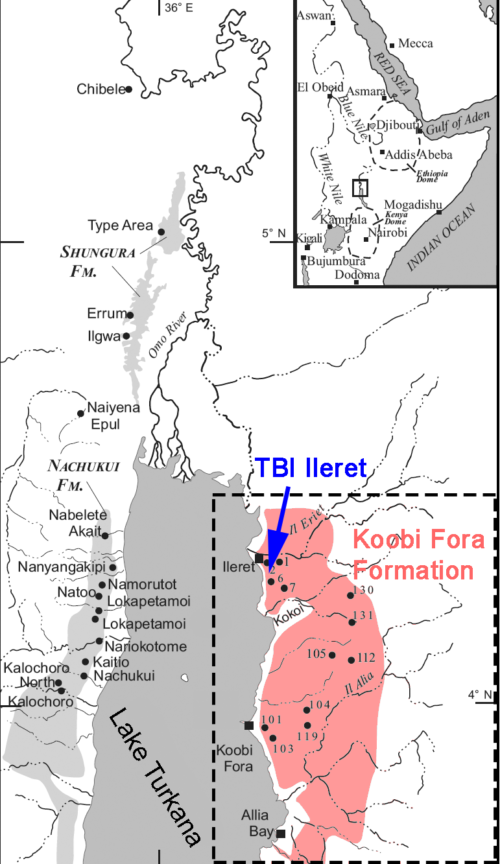
A map showing TBI Ileret and the Koobi Fora Formation. Modified from McDougall and Brown (2006).
So far, most of the students’ work has been focused on the Ileret region, which is the northern part of the Koobi Fora Formation. To see another part of the Formation outside Ileret, we organized a field expedition to the Karari ridge, which is known for the discoveries of early hominins and archaeological sites where they produced stone tools and butchered animals. The Karari ridge also contains great examples of the geologic context in which early human activities took place.
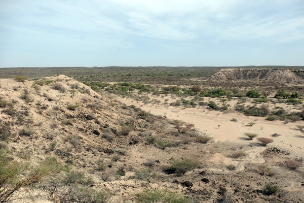
Sediments to the north of the Karari ridge
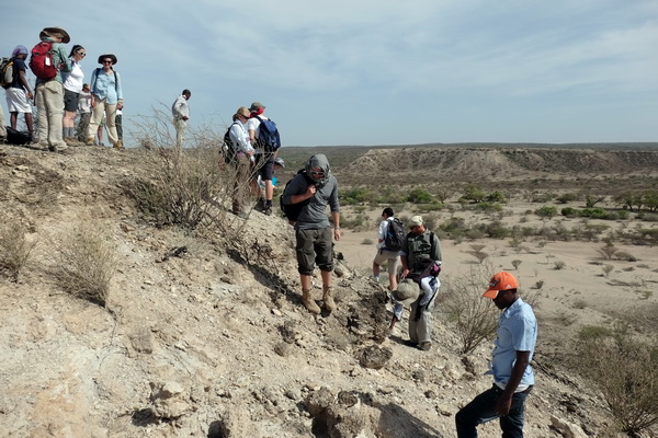
Students examining a volcanic tuff at the edge of Karari, which is a great source of geological dates for sediments and fossils
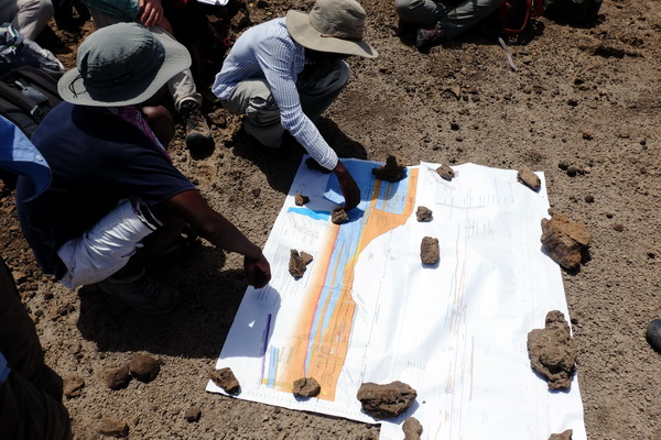
Students looking at a stratigraphic map of the Karari ridge, made by Professor Raynolds
One of the major discoveries on the Karari ridge was a skull of an early human ancestor known as the KNM-ER 1470 (museum number), or simply as “1470”. The relatively large brain size of this fossil skull and its early geologic age brought intense discussion about the origins of our own genus Homo at the time of its discovery. Our field school students had a chance to go to the fossil site (Area 131) where “1470” was found. Although the only thing left there is a cement pillar marking the location of its discovery, we brought a cast replicate so that things were not entirely out of context. That also gave the students a chance to get a selfie with this remote ancestor! Students will learn more about “1470” and other major discoveries of the Turkana Basin in the following modules.
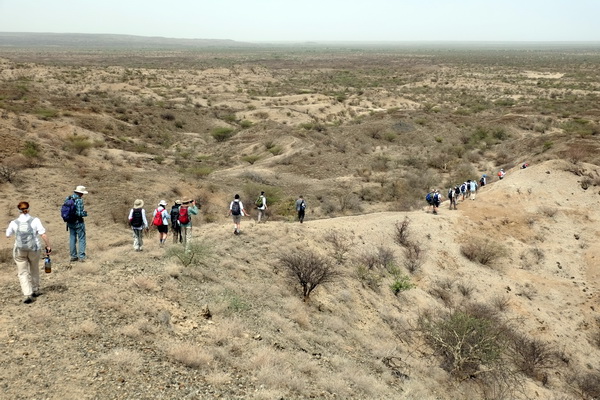
Students hiking down to Area 131
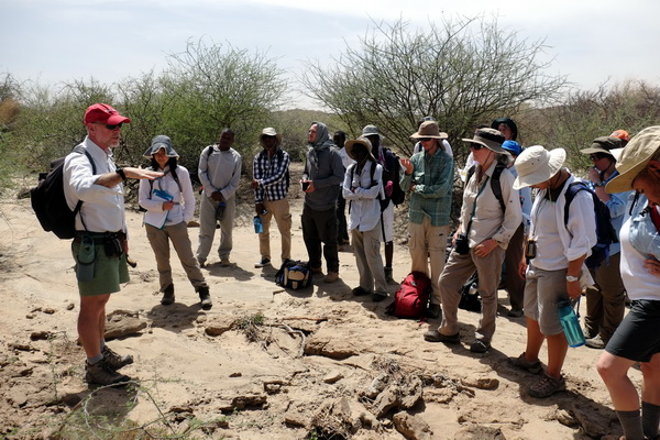
Professor Feibel explains the depositional environment of Area 131
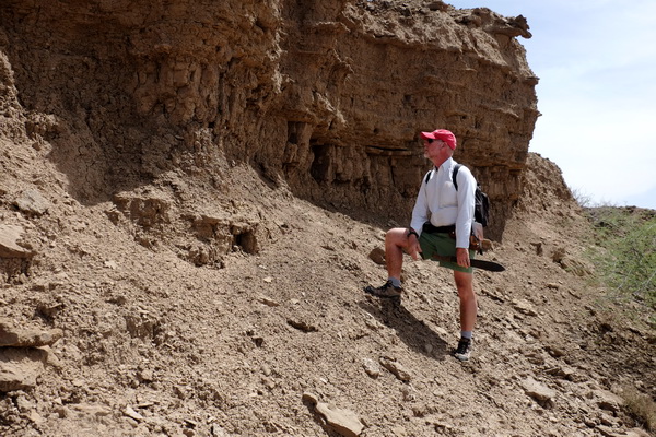
Professor Feibel examines an outcrop with students
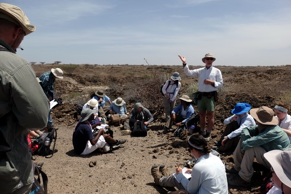
During a break, Professor Feibel discussed the discovery of “1470” and its significance
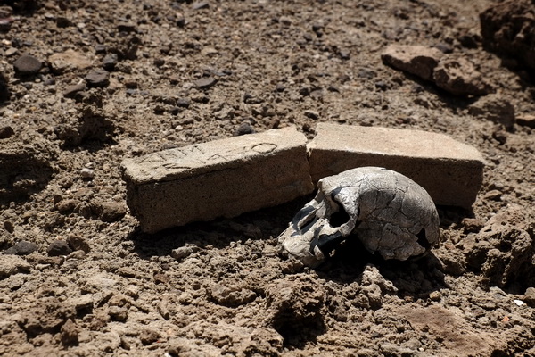
A cast of “1470” sitting at where it was found
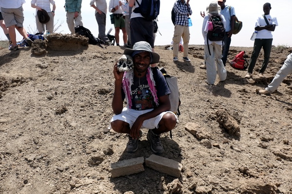
Goitom hanging out with “1470” at its place of discovery
As students continue to use GPSs and Brunton compasses, they are becoming more and more confident in their geologic field skills. In the next part of the module, we will be mapping major geologic features of the Koobi Fora Formation around Ileret. Stay tuned!
Amazing colors of a sunrise at TBI Ileret

