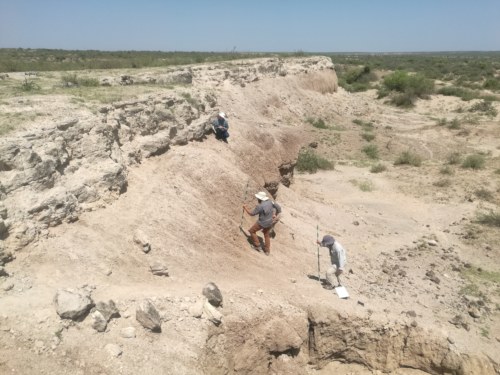
We’re in our last week of the Geology course. Students have been busy sharpening their mapping skills while working on various exercises. On Monday morning, students went out to the exhumed channels in Area 6A, where they examined and mapped sandstones that represent an ancient river channel. According to Dr. Raynolds, organizing geological information is helpful in producing infinite and practical data, but maps alone cannot relay complete details of a feature. Therefore, a cross section is needed to complement it.
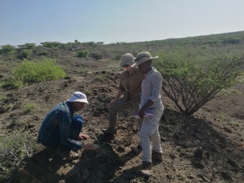
Dr. Raynolds describes the direction of paleocurrents to Clara and Becca.
Photo credit: Medina Lubisia.
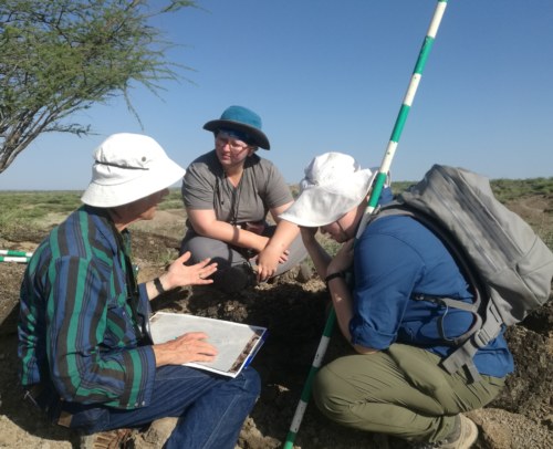
Dr. Raynolds explains the overview of mapping to Amber and Emma.
Photo credit: Medina Lubisia.
A stratigraphic section refers to the sequence of strata as laid in an outcrop from the the oldest to the youngest. Dr. Feibel spend the better part of Tuesday morning teaching students how to measure and describe sedimentary strata. Students were then tasked to describe the strata in ranges of about 10cm for easier interpretation of the units at Area 1 in the Okote Member and Chari tuff outcrops. “A lot of what you recognize depends on what you know, and your visual vocabulary helps you identify things,” said Dr. Feibel. Students were encouraged to collect quality data that included in-depth descriptions of particle sizes, colour, thickness of beds, and even the nature of the surface. Stratigraphic sections are important as they help define the distinctive lithological horizons, which are the basis for interpretation of sedimentary facies and paleoenvironments.
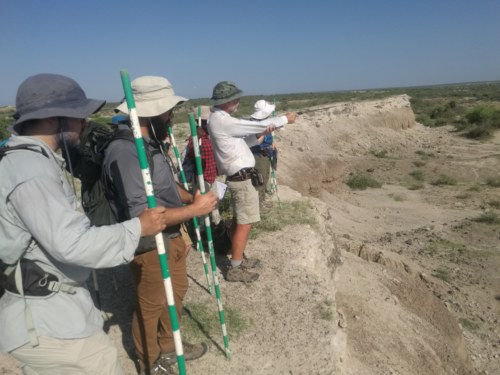
Dr. Feibel points at the Main Fish Beds in Area 1. Photo credit: Medina Lubisia.
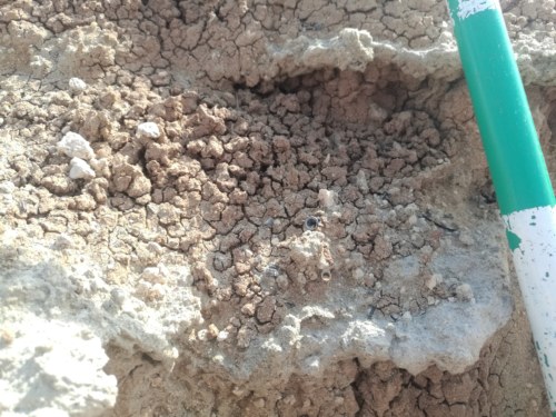
Main Fish Bed stratum with fossil fish bones. Photo credit: Medina Lubisia.
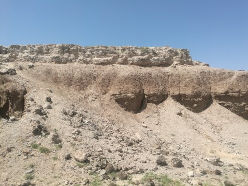
Chari tuff sitting on top of the Okote Member sediments. Photo credit: Medina Lubisia.
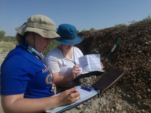
Becca and Emma working on describing sediments. Photo credit: Medina Lubisia.
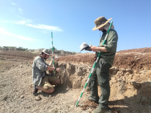
Michael and Zak measuring their slope. Photo credit: Medina Lubisia.

Joe and Jared hiking the outcrop to measure the tuff. Photo credit: Medina Lubisia.
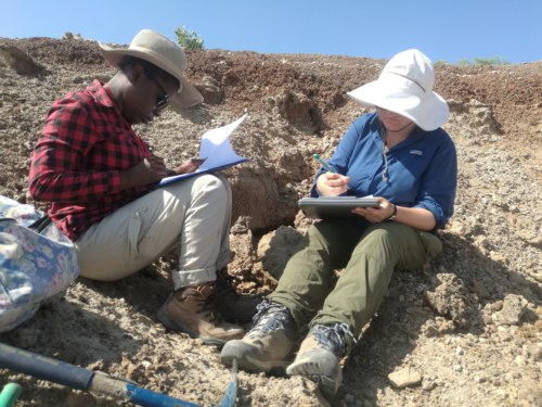
Clara and Amber sharing notes. Photo credit: Medina Lubisia.
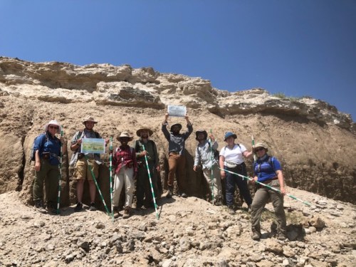
An amazing photo in front of the exposures. Photo credit: Bob Raynolds.
More to follow from our first camping trip at Koobi Fora!

