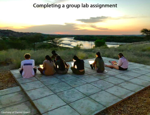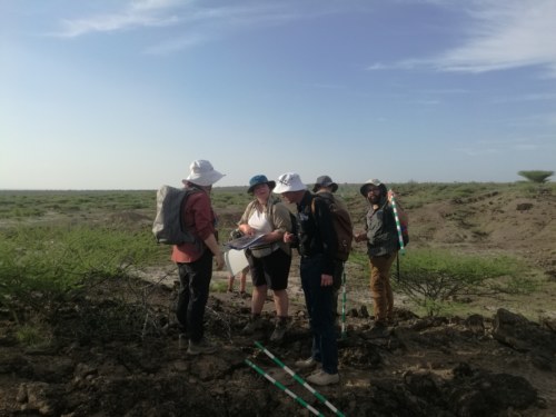
Turkana Basin geology has been well studied and documented. Understanding the sedimentation processes and geochronology of the region is crucial in reconstructing paleoenvironments and putting data in context. Dr. Craig Feibel and Dr. Bob Raynolds, instructors for the Geology module, introduced students to the stratigraphy of the Ileret region, including the rich Pliocene and Pleistocene deposits of the Koobi Fora Formation (dates to about 4.1-0.7 mya). The Koobi Fora Formation consists of 8 Members: Lonyumun, Moiti, Lokochot, Tulu Bor, Burgi, KBS, Okote, and the Chari.
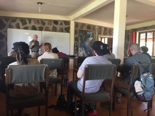
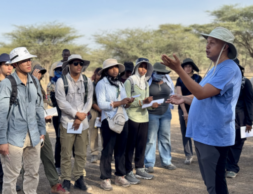
Dr. Feibel giving a lecture on the geology of Ileret. Photo credit: Wambui Mbogo.
Dr. Feibel introduced the students to the geological context and record of the basin, with an emphasize on using modern landscape as a proxy to understanding past environments. Today, the Turkana Basin is a sedimentary-closed basin; it was once an open system that drained into the Indian Ocean. The Turkana Basin records ancient water systems and fossils in the sediments, and thus provides a basis for archaeological, paleontological, and geological analysis. Environmental factors such as tectonics, volcanoes, and climate play a big role in landscape formation. Our first hike was at Area 3, where we walked through time in the Chari and Okote Members, which date to about 1.38 mya, and 1.56 mya respectively. By examining a stratum containing fossil fish bones, students were able to recreate the ancient aquatic environment in the outcrops. Students also spent their time in the geology lab, learning about the rocks and minerals found in the Turkana Basin.
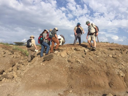
Dr. Feibel and the students standing on the Main Fish Beds. Photo credit: Wambui Mbogo.
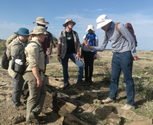
Dr. Raynolds explaining to students how to identify paleocurrents on sandstones. Photo credit: Medina Lubisia.
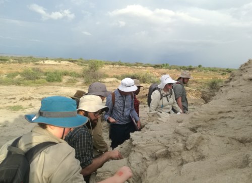
Students examining a sandstone outcrop. Photo credit: Medina Lubisia.
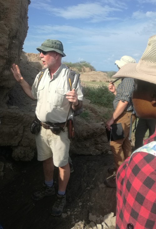
Dr. Feibel explaining sediments to students. Photo credit: Medina Lubisia.
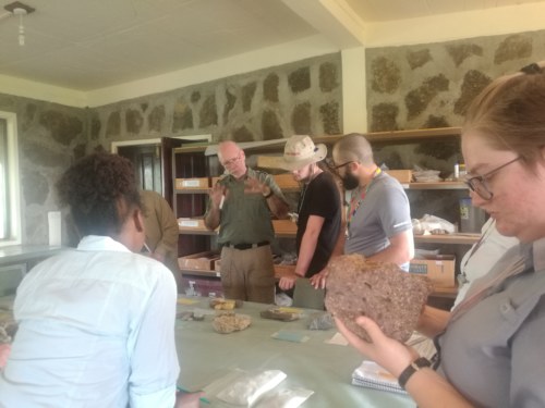
Students in the geology lab. Photo credit: Medina Lubisia.
Navigating the Turkana Basin requires skill in compass and GPS use. As part of the course, students were taught how to use the Brunton compass, GPS, and the Jacobs stuff in stratigraphic mapping. Later on, the students participated in the orienteering contest which was meant to gauge their navigation abilities. They also spend their time at Kale beach mapping the level of lake elevation in recent times.
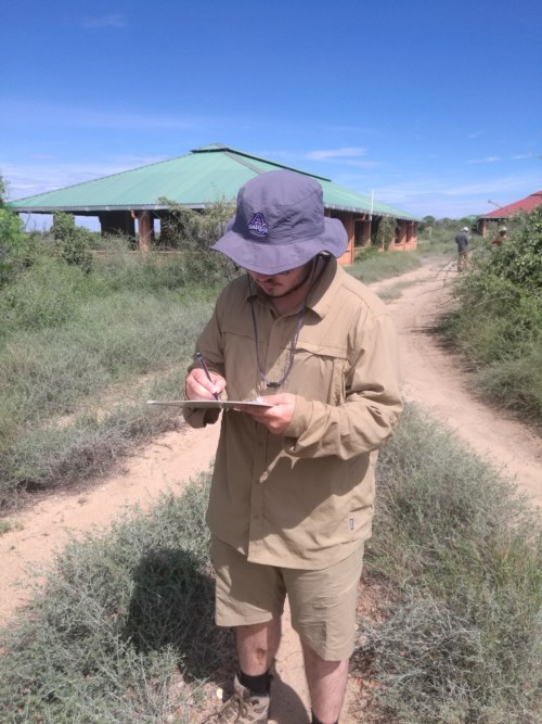
Jared drawing the map of the TBI-Ileret campus. Photo credit: Medina Lubisia.
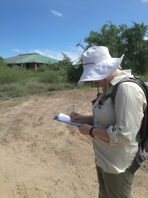
Amber sketches a map of the campus. Photo credit: Medina Lubisia.
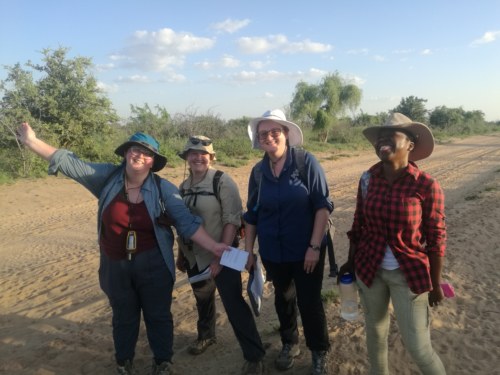
Team ‘Clara and the gang’ after navigating their way safely. Photo credit: Medina Lubisia.
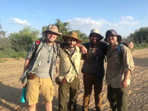
Team ‘Where is Jared’ made it home in time. Photo credit: Medina Lubisia.
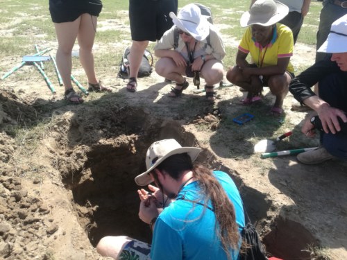
Michael using a hand lens to examine particle size of sediments at Kale beach.
Photo credit: Medina Lubisia.
To understand the deltaic processes in the region, Dr. Feibel and Dr. Raynolds took students for a hike in the Tulu Bor delta. We came across the Tulu Bor tuff, standing about 2.5 metres tall, dating to about 3.44mya. Through tephrostratigraphy, the Tulu Bor tuff has been correlated with the Sidi Hakoma tuff at Hadar. Students were able to collect core samples from the delta for facies, and climate dynamic analysis. Our week ended with a trip to Karari, where we hiked to a hominid site that yielded the cranium of Homo rudolfensis (KNM-ER 1470).
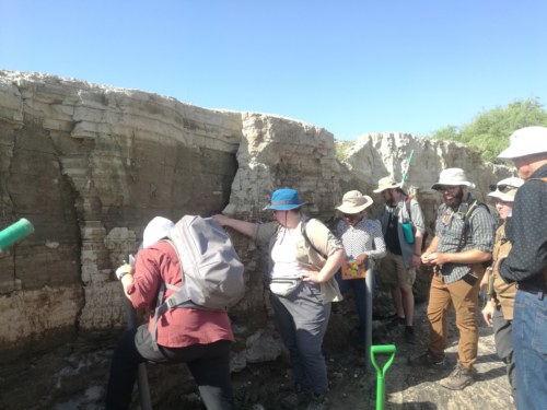
Students examining the Tulu Bor tuff. Photo credit: Medina Lubisia.
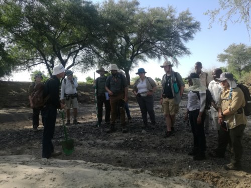
Dr. Reynolds explaining the influences of water systems on deltaic sediments.
Photo credit: Medina Lubisia.
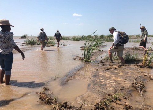
Students walking in the Tulu Bor delta. Photo credit: Rebecca Connet.
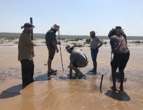
Michael extracting core samples from the delta. Photo credit: Rebecca Connet.
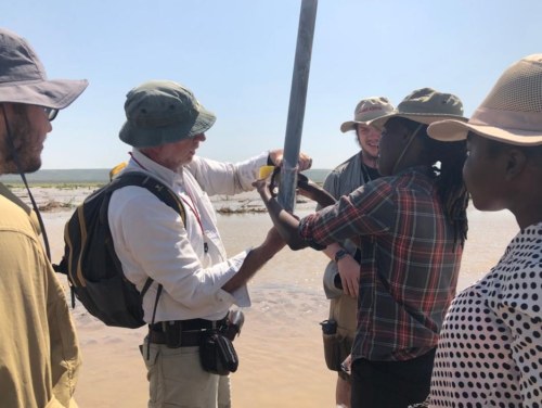
Dr. Feibel and the TA wrapping up the core samples. Photo credit: Rebecca Connet.
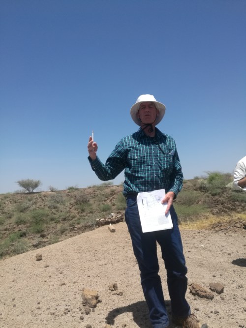
Dr. Raynolds showing the students a stratigraphic map of the KBS Member at the hominid site. Photo credit: Medina Lubisia.
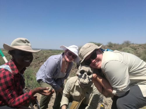
Students pose with Homo rudolfensis cast. Photo credit: Medina Lubisia.
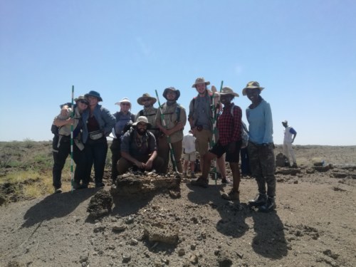
Students at the hominid site.
“The present is the key to the past.”
– Charles Lyell.

